| 553 | Trial Sense More Navigation Tips |
2012-01-09 |
As a teenager, a friend and I, were backpacking across a mountainous region. We had just finished a navigation class and we found ourselves trying to use our new skills as we followed a heading from the compass. Our objective was to shortcut a trail that led to a pass. We didn't need trails to follow a route, we had a compass! If all went well, we would save hours of time and energy. All we had to do was follow the direction of travel arrow... or so we thought.
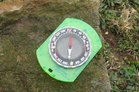
We had just learned the difference in North and Magnetic North and had a piece of tape stuck to the bottom of the compass's base plate to aid us in solving the declination error of the region. The instructor claimed that skill was the hardest thing to do when using a compass.
With that knowledge, we bravely trod where, perhaps no one else had trod before. Well, we didn't see any other signs of humans. The terrain was very difficult. No other humans would have wanted to cross that terrain. We stayed true to our course on the open slopes; but then we entered a wooded area, things suddenly didn't seem right. We were walking following a heading, but quickly saw that just because we were following the direction of the travel arrow - that did not mean we were traveling in a straight line. Finally, we stopped and admitted we didn't know exactly where we were. Bewildered, we sat and looked at the small scale map (covers a large area - the scale is too small to read!) as we tried to locate our position. We decided our only option was to go uphill until we made it out of the tree cover.
After much effort, we finally cleared the trees; but we were still confused. The area looked different up close than it had from a distance. Everything looked the same to us and nothing looked like it had before. There were several mountains and passes in front of us and all the passes looked passable. After looking at the map and our heading, we decided that we were right below our destination. We climbed and climbed the trailless, scree slope and finally arrived at the pass. Or, we arrived at a pass. The problem was, it was the wrong one! There were no trails and the slope on the other side looked to be a sharp drop-off. We had chosen the wrong pass. Our already tired bodies had to descend that loose slope and contour until we finally were below the real pass, a good distance away from our first attempt. The climb to the real pass, was on a good path on a somewhat gentle slope. The path looked much easier than our route.
Our off trail shortcut took hours longer than if we had stayed on the trail; but we did have an adventure. We also realized we needed to learn a bit more about navigation.
A few more navigation tips ...
Other navigation topics: Where Am I?, Where Am I Going?, How Do I Get There?, and Basic Map and Compass
Use the largest scale map possible. The USGS topos are 1:24,000 and in most cases are an adequate ratio. Note: large scale means the objects on the map are proportionally larger. The area covered on a large scale map is smaller but with greater detail. Another way to remember it is to just look at the scale as a fraction - Which is the larger number: 1/24,000 or 1/250,000? 1/24,000 is larger.
Read all the information possible about an area before your trip.
When route finding, always stay on a trail, unless a trail does not lead to your destination. Trails generally follow the easiest routes. Following a trail also complies with the important Leave No Trace principles.
Being off a compass bearing by just 002 degrees for a distance of one mile leads to a 185 foot error. It is hard to maintain 2 degrees of accuracy.
To travel in a straight line using a compass is difficult.
When using a GPS and gathering a track line, when you view the line from a distance, zoom out, the tracks looks straight; but when you zoom in for a closer look, the line is hardly straight.
Use the handrails to help you get close to your objective with less precision.
With a small handheld compass it is hard to be precise. Try instead to navigate to an obvious handrail and then follow the handrail to the the location. A handrail might be a road, trail, powerline, river, ridge, etc. For example, if you are returning to your car parked on a road, set your route so that it will intersect with the road before or after the parked car. Once you arrive at the handrail, follow it to the parking area. Note: over-shoot or under-shoot the destination by far enough, that it will be obvious which way you will have to travel on the handrail to reach your destination.
If you decide you must follow a straight line, you must take and follow a heading bearing and a back bearing. If for example you are following a heading of 30 degrees. As a waypoint on the heading, you spot a distinguishable sycamore tree on the bearing. Then at 210 degrees, , 180 degrees behind you, you see a rock. You can, then follow the line between the rock and the sycamore. Once you arrive at the sycamore, that tree becomes the location of the back bearing waypoint and you find a new forward waypoint.
It is fun to practice this technique in a wooded area.
Happy navigation trails