| 535 | Trail Sense How Do I Get There |
2011-12-12 |


Climbing the Ridge to the Summit
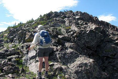
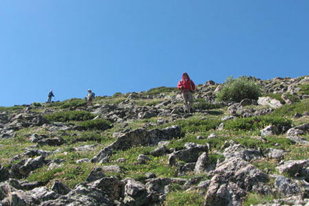
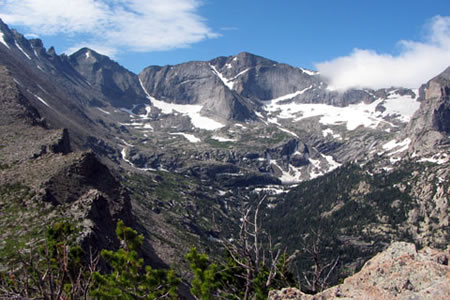
Not long after we left the main trail the footprints we were following disappeared into the rocky slope. We were soon climbing a steep, trail-less slope. Even though the climb was rugged, it was what we expected. We were rewarded with unsurpassed views of Glacier Gorge.

Descent from Half Mountain
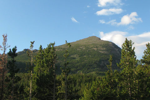
After a brief rest on the summit we began the descent. From the trailhead we had seen a ridge with an outcropping of rock that descended to the east from the summit. We decided that it could not be much harder than what we climbed and took the path of less resistance down the slope. At treeline we crossed through a gap in the cliff line then picked and choose a path to the trail below. After a short walk we returned to the area where we left the trail on the climb. Our loop was completed.
Traveling off trail is fun; but trails are much easier to walk and navigate. Still, even while walking on a trail, a route must be chosen.
A few tips on route selecting ...
Consider the fitness level and experience of everyone in your group.
How much time do you have?
What is the weather forecast?
How steep are the climbs.
How fast will you need to hike to complete the hike? Re-consider the fitness level of everyone in your group.
Make group decisions.
The shortest route is hardly ever the easiest route. Some folks can walk forever on flat land; but put a little slope on the hike and they slow dramatically. If the group has flat land hikers, look for routes with easy graded slopes.
Remember, the closer the contour lines, the steeper the slope.
Some hikers can hike up steep slopes without any trouble, but cannot descend the same slope easily.
Most hikers average about 2 mph while traveling with a pack over easy terrain. The speed will decrease with steepening slopes.
Stay on the trail. You would need a good reason to go off trail and then be sure to follow the Leave No Trace - Traveling principles in order to lessen your impact.
If the group is inexperienced, the leader should have traveled the route prior to the trip.
Search the map for waters sources near the trail.
Plan for breaks.
Find obvious features on the map to be looking for while on the hike. See the notes from "Where Am I?"
If in the mountains, look for ups and downs on the ridges that could be false summits. The discouraging bumps are easier if you expect them.
Make sure that everyone in the group carries the 10 essentials.
Make sure everyone knows the route before leaving the trailhead.
Be safe.
A route example, our Half Mountain hike ...
There were four of us in the group. Though we were at different stages of acclimating, we were all experienced.
We discussed the route and the difficulty of trail-less travel. The route was short which compensated for the difficulty.
Everyone carried the essentials.
We discussed navigation decisions during the day.
On the ascent, we were slow and steady.
On the descent, we used the rock outcropping that we saw from the trailhead, as a handrail and followed it to where it intersected the trail.
Though we didn't set any record speeds, we started early enough and moved steadily to complete the hike with time to spare.
The views were worth the effort. Making the climb a bit easier and the hike more memorable. Half Mountain was a good, challenging hike for our group.

View from Half Mountain
Happy fun routes on the trails
Trail Sense - Navigation - Where Am I?
Trail Sense - Navigation - Where Am I Going?
Trail Sense - Naviagtion - How Do I Get There?