| 965 | Savage Gulf Trails Map | 2014-12-05 |
After moving to middle Tennessee in the '80's one of the first places I visited was Savage Gulf. As I explored the area, I soon realized that Savage Gulf was simply, a hiker's paradise. The 15,000 plus acres did not have recreational vehicle campgrounds, inns, restaurants, golf courses, etc., but they did have well maintained hiking trails and a lot of them.
A few years back when we started cloudhiking.com one of the first guides we did was of Big Creek in Savage Gulf. The map that accompanied the guide was only of the area of the hike. I was not good enough to make a map of the entire Savage Gulf Natural Area. We had to delay a large map of the whole Natural Area for a few years, but finally decided to work on it.
We are now, proud to offer the Savage Gulf Trails Map on cloudhiking.com.
The Savage Gulf Map is big with lots of trails. In planning the map we decided to include trails that we had not yet hiked (Laurel, North Plateau, and Mountain Oak Trails). The data used to determine the unhiked trails' tracks was the State of Tennessee's TDEC GIS Shapefiles. There were other trails that we had hiked but had not collected data (Greeter Falls, Greeter, South Rim, North Rim, and Savage Gulf Day Loop). So, I am sorry to say it, but I guess we are going to have to hike all of the trails in Savage Gulf to get our data for each trail. We will update the map as we gather the information.
A few Savage Gulf Trails Map notes ...
The scale is 1 to 9,000, which makes the map about 70 inches wide and 40 inches tall. That size is great for a digital map but it is a little bit big for printing!
The map includes Big Creek, Firescald Creek, Ranger Creek, Laurel Creek, Collins River, Fall Creek, Rocky Mountain Creek, Savage Creek, Meadow Creek, Carvenger Creek, and more. There are numerous falls and sinks in each drainage.
The trails included are Stone Door Trail, Laurel Trail, Big Creek Gulf Trail, Ranger Falls Trail, Greeter Trail, Greeter Falls Trail, Blue Hole Trail, Big Creek Rim Trail, Connector Trail, Collins River Gulf Trail, Collins River Rim Trail, Stagecoach Road, South Rim Trail, Savage Gulf Day Loop, North Rim Trail, Mountain Oak Trail, and North Plateau Trail.
Camps included are Stone Door, Alum Gap, Sawmill, West Collins, Collins East, Coach Road, Savage Falls, Savage Gulf, Hobbs Cabin, and Dinky Line.
Trails measure over 55 miles in distance. Some trails can be hiked as loops, others as out and backs, and other hikes may require a combination of the two.
The trails that we have hiked (and collected data), we verified the mileage and included the 0.25 mile marks on the trail lines.
Most of the trails can be easily hiked as day hikes. Some of the more remote destinations require long distances that require 20 plus miles day hikes or overnight trips.
All of the rim trails are considered easy with possible short stretches of steeper terrain.
The trails inside the gulfs or drainages are more difficult.
Stretches of the trails cross very rocky and uneven terrain. Trekking poles or a walking stick help level the difficult footing.
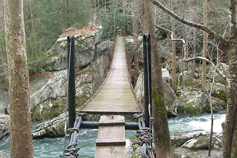
In the wet months, many of the streams require fording to cross. Use caution and practice safe fording procedures. If the crossing looks scary, it's probably time to turn around.
In the dry months the same streams that were difficult to cross will be dry and require easy rock hopping to span.
The area is special, but requires all hikers and campers to practice minimum impact usage to preserve the Natural Area.
Happy Savage Gulf Map trails