| 920 | Wild Basin Rocky Mountain National Park Trail Map |
2014-04-16 |
Over the last few weeks we have been working on the map to the Wild Basin (map link) area of Rocky Mountain National Park. We are happy to announce that the map is complete and posted on cloudhiking.com.
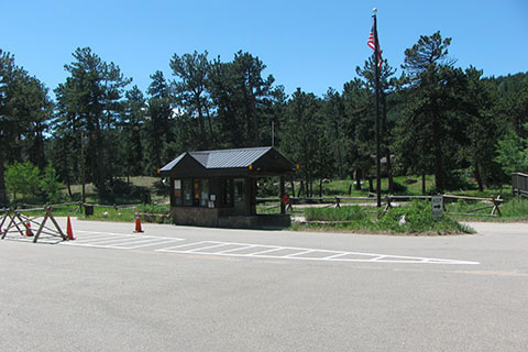
Wild Basin area is on the east side of the range with the entrance located south of Longs Peak between the small towns of Meeker Park and Allenspark. It is a fee area.
In the Wild Basin are there are 4 different trail systems - Sandbeach Lake, Finch - Pear Lakes, Ouzel - Bluebird Lakes, Thunder - Lion Lakes (though Lion Lake will be covered in another map, most of the trail is on the map). The maintained trails stop at these destinations (the lakes), but unmaintained trails continue to other lakes, peaks, and passes.
The map includes trailheads, facilities, backcountry campsites, trails, mileage, longitude and latitude, destination mileage, and more. The digital map is great for dreaming, planning, or as an aid to navigation when it is loaded on a smart phone.
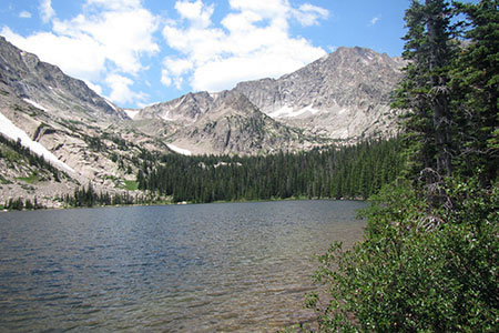
A few photos of Wild Basin area ...
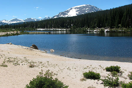
Sandbeach Lake
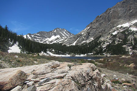
Pear Lake
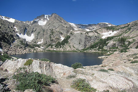
Bluebird Lake
Thunder Lake
Happy Wild Basin Map trails