| 821 | Twin Sisters and Estes Cone |
2013-06-12 |

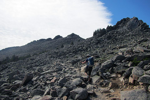
After setting camp on Sunday evening, we were ready to get into the mountains as soon as possible. Our camp was on the eastern edge of the Park, so, we decided to do hikes in that area. On day one, we chose to hike Twin Sisters from Lily Lake.
Twin Sisters is a Class 1 trail. It is a hike. We started out slowly and then slowed down. On our first day at elevation we were putting into practice the years of experience of how to acclimate. We were trying to push ourselves and gain strength without hurting anything. On Twin Sisters Trail we had been walking for an hour when we checked our distance, we had gone a little over a mile! That's 1 mph. I don't know if I have ever walked that slowly in my life, but it felt right at that time. Oh, when we saw our slow speed, we picked up the cadence a bit.
We had no issues with the climb (other than we were moving so slowly). Sady, it was still early for the wildflowers but it was also early for visitors. The streets of Estes Park were not lined with vacationers and neither were the trails. It's kind of nice.

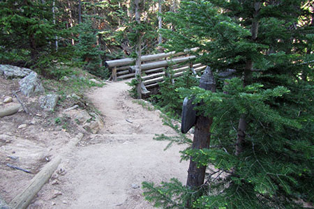
Bridge along Storm Pass Trail
On Tuesday, we hiked to Estes Cone, also on the east side of the Park. Estes Cone is a Class 2 route. It is a trail to within a hundred feet of the summit, where it then, scrambles to the top. Estes Cone is a harder hike than Twin Sisters.
Once again we were trying to gain our mountain legs and were hiking slowly allowing our lungs time to keep pace. It was a great hike and a fun scramble across the summit ridge.

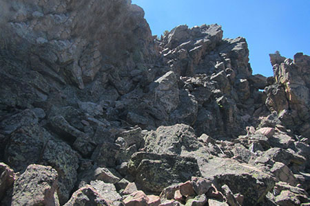
Final slopes to the summit of Estes Cone
A few hiking notes ...
There were large camp groups on each hike. We thought they might have been from the same camp. The campers were courteous and moved to the side to allow us to pass.
We have made maps to both Twin Sisters and Estes Cone for cloudhiking. I loaded the geo-referenced files to my iPhone and they worked great! The tracks were very accurate and easy to follow. We saw ways to make the maps even better, but will not be able to make the changes until we return to Nashville. These maps are not available yet, just the regular PDF maps are online - see cloudhiking for download instructions.
The views from both peaks are outstanding.
We had both summits to ourselves.
Wish you were here.
Happy Twins Sis and Estes Cone trails