| 972 | Mount Massive Map | 2015-01-27 |
During the summer ('14) we revisited Leadville, CO to climb Elbert and Massive. We had been in Colorado for a few weeks prior to our visit and were acclimated and ready to go. On Elbert we did a tour of Elbert as we climbed North Mount Elbert Trail, descended the South Mount Elbert Trail, and linked the two trail with a section of the Colorado Trail. It was a good day.
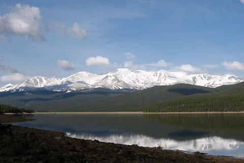
Our next hike after Elbert, was Massive. We were walking by 0530 and returned to the trailhead at 1300. It was also a great hike.
If we had to choose between Elbert and Massive, we would probably choose Massive, but the mountains are different - it's like apples and oranges. The Elbert routes we followed were trails, crowded trails. Massive was also crowded on July 4th, but the route was more interesting. The trail stops at the Saddle (about 0.55 mile from the summit) and follows a ridge to the summit. The ridge is Class 2. It requires easy scrambling, and is definitely more fun than a trail. On our trip, a couple of snow patches also lingered to add even more pizazz.
We are happy to annouce that we have posted the Mount Massive Map on cloudhiking. We hope you have as much fun on the mountain as we have.
A few Mount Massive Map notes ...
The map includes the Colorado Trail to the Mount Massive Trail Junction and the Mount Massive Trail.
If we can return and do a couple more routes, we will add them to the map.
The Mount Massive Trail is the standard route.
We included the Colorado Trail north of the Mount Massive Trail Junction, but the route is not accurate. We did not walk that section.
As always mileage was again difficult. We had four current GPS tracks and one old one. The tracks were very similar and it was easy to accept their readings. After taking out the extras (stops, etc) from the trackline we used the lines distance as mileage. The distance is a bit shorter than the mileage from other sources. We expected our data to be a bit shorter. A couple sections of the trail were re-routed and changed the overall distance.
The map includes the 0.25 mile markers on the trackline and mileage between waypoints.
The map was made with in the NAD 83 (1986) projection using NED data. The data is supposed to be more accurate.
Like all maps, the trackline brought back many good memories.
Happy Mount Massive Map trails
Links