| 961 | The Loop Trail Guide Rocky Mountain National Park |
2014-11-03 |
While trying to write guides for the Loop - the North Inlet Trail and Tonahutu Creek Trail - we had to decide how how we were going to organize the data. The problem was the two trails that make up the Loop are also used for shorter hikes. We needed to write a guide for hikers wanting to dayhike or backpack on an 'out and back' overnight trip, as well as for those wanting to hike the entire Loop. Our plan was to complete the guides for the North Inlet Trail (including the Lake Nanita Trail) and the Tonahutu Creek Trail (including the Haynach Lake Trail) and then to adapt the guides to be used in the Loop.
A few Loop Trail Guide notes ...
The lower North Inlet and Tonahutu Creek trails are fine paths, but it is the upper section of the trails that gives the Loop it's status as being one of the great hikes.
The Loop is a section of the Continental Divide Trail.
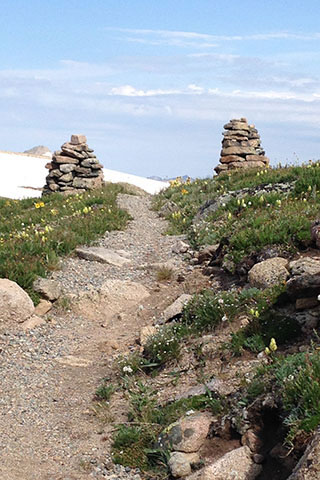
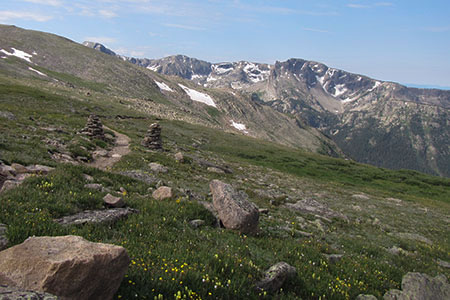
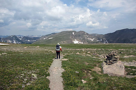
The Loop route is above treeline for over seven miles.
We used the data from the two trails to use with the Loop Trail.
In the Loop Guide, we abbreviated the info from the other two guides and then added the info for the high route.
The upper section of the route is snow covered for almost ten months of the year.
The Park's Backcountry Office has current snow and route conditions.
Online, the Park provides data to all of the backcountry sites included is info on when the sites are snow-free.
The route could be done in snow, but the route crosses avalanche terrain. Only trained and experienced snow travelers should cross the slopes.
Due regard must be paid to the weather before venturing on the upper slopes.
Once on the high route, hikers should know their speed and the distance and time required to return to treeline, in case the weather changes.
It's okay to turn around.
On our trip, we did not waste any time because weather was moving our way. We knew we had to move quickly to avoid being caught in a storm.
We returned to treeline with time to spare, but we wondered how other hikers we met on the trail were fairing.
The route could be done in either direction, we gave information starting on the North Inlet Trail.
We added some other mileage features on the map. Now we are actually specifying the distances that are less than a quarter of a mile.
Hikers attempting the Loop should be fit, acclimated, and experienced hikers. Being able to camp comfortably while using lightweight gear is a key to success. Leave the iron skillet behind!
The Loop Trail rivaled the Teton Trail route. It is a classic trail. Check out the Guide and plan a trip to experience the high route.
Happy Loop trails