| 907 | Long Hungry Ridge Gregory Bald Guide |
2014-02-18 |

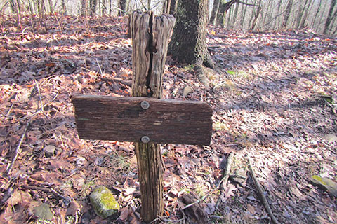
An old sign at Rye Patch
After finishing the map to Gregory Bald in Great Smoky Mountain National Park, we have been working hard on the Guides to the trails. Our first guide is complete - the Long Hungry Ridge Route.
Starting at Twentymile Trailhead, located in North Carolina - between Deals Gap and Fontana Dam, the hiking begins on Twentymile Trail. At Proctor Field Gap, 3.1 miles, the route changes to the Long Hungry Ridge Trail. We truly enjoyed all of the creek crossings and the hike up the ridge. Joining Gregory Bald Trail after 4.60 miles (from Proctor Field Gap), the Gregory Bald Trail leads to the summit at 4,949 feet.
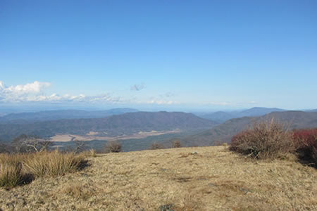
From Gregory Bald there are views in all directions. It is perhaps a better summit (at least less crowded) than Mount LeConte. The summit elevation of Gregory Bald is at 4,949 feet - much less than Mount LeConte's 6,593 feet, but the Long Hungry Ridge route climbs more than 3,600 feet from the trailhead (Alum Cave only climbs 2,800 feet, but Rainbow Falls climbs 3,800 feet). Gregory Bald is a worthy summit.
From the summit of Gregory Bald, to return to Twentymile Trailhead, either reverse the ascent or traverse Gregory Bald and descend via Wolf Ridge Trail. Coincidentally we, are working on the Wolf Ridge Trail guide!
Gregory Bald from Twentymile Trailhead using Long Hungry Ridge is a long day hike or as an overnight hike. One friend, suggested, as he has done before - camping at Upper Flats (92) and hiking Gregory Bald as a day hike from that camp. Regardless of how you hike it, put Gregory Bald on the list, it will be a great adventure.

Cades Cove to the north of Gregory Bald
In March, we hope to hike the trails from Cades Cove to Gregory Bald and complete the guides to the summit.
Happy Long Hungry trails
Guide to Long Hungry Ridge Trail - Gregory Bald