| 915 | Gregory Ridge Trail Guide |
2014-03-28 |

In January ('14) I went on a backpacking trip to the Smokies as we hiked Gregory Bald from the south. It was a great trip, but there were still two more routes to hike on the mountain - Gregory Ridge and the Gregory Bald Trail. Last Friday, I was able to hike Gregory Ridge with my friends Nick and Caley.
Since we had already drawn the Gregory Bald Map (and posted it on cloudhiking.com), it was easy to add the extra data to the map. We stopped our other projects, updated the map, and wrote the guide to the Gregory Ridge Trail.
A few Gregory Ridge notes ...
Gregory Ridge is a direct route to one of the best summits in the Park.
The first two miles of the route follows Forge Creek to the backcountry campsite. It is a relatively easy hike from the Gregory Ridge Trailhead to the campsite.
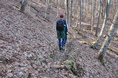
After the Forge Creek Campsite, the trail climbs steadily to the Gregory Bald Trail at Rich Gap.
We added a couple of waypoints along the 3 mile climb. A boulder at 0.50 mile above the campsite and a hollowed tree at 2.00 miles. Both are obvious (as long as the tree is standing!)
In the winter months, there are good views on the climb.
From Rich Gap to the summit of Gregory Bald there are two steep climbs, luckily they are short.
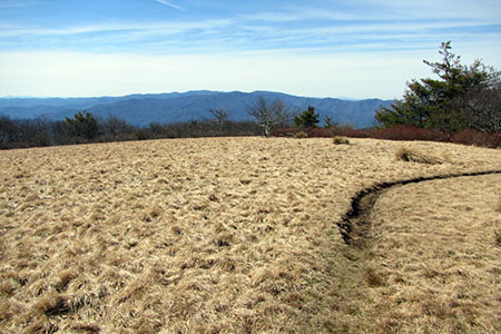
The views from the summit of Cades Cove and neighboring mountains are outstanding.
Horses are not allowed on the Gregory Ridge Trail.
A disadvantage of the Gregory Ridge Trail is the trailhead is in Cades Cove. Beautiful Cades Cove is an auto touring paradise, but it can be a traffic nightmare.

Gregory Ridge Trail is a great hike. If you are in the Cades Cove area, it is the best route to Gregory Bald, a truly worthy adventure.
Happy Gregory Ridge trails
Links
Gregory Ridge - Gregory Bald Tr Loop trip report