| 598 | Grays And Torreys |
2012-03-13 |

Over the weekend we finished the Grays and Torreys Peaks' Map and Adventure Guide on cloudhiking.com. We are really excited about the map and guide because it is the first Colorado 14,000' mountains that we have completed.
Grays and Torreys Peaks sit just a few miles south of Interstate 70 near the town of Georgetown, CO. The peaks are very popular with Colorado locals as well as hikers who travel to the state to hike and climb the mountains. A good trail begins at the Grays Peak Trailhead and climbs 3.75 miles to the summit of Grays Peak with a magical 3,000 feet elevation gain (3,000 feet is a suggested minimum elevation gain for climbing a Fourteener). The trail is a National Recreation Trail and is part of the Continental Divide Trail.

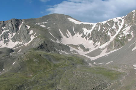
Grays Peak from Kelso Mountain
Torreys Peak sits less than a mile away from Grays. So, if you are going to do one, and the weather is clear, you might as well try the other. Climbing one 14000' mountain is tough, but two definitely pushes you. After you descend to the saddle between the peaks, you have to shift into low gear and climb again. The view is incredible. If you so choose, you may also climb Torreys and not climb Grays at all or climb Torreys first and then Grays.
These are fun peaks. You will see climbers of all ages and skill levels on the peaks and dogs everywhere. On weekends with good weather the place is crowded. Try to climb on a week day for a less crowded experience or join the weekend party.

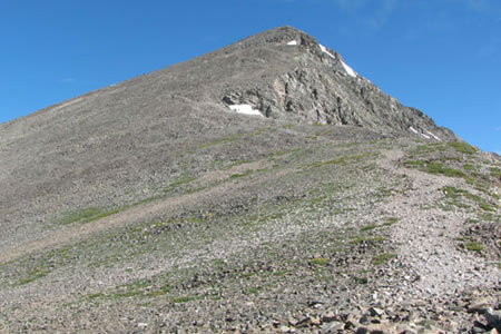
Torreys Peak from the Saddle
Remember the Adventure Guide includes directions, trail description with pictures, mileages, and GPS tracklogs. The map is a detailed topo of the peaks and area. Both the Adventure Guide and the Map are free. Please, get out there and use them, then tell us how you did. We'd love to hear from you.
Grays and Torreys pages on cloudhiking
Happy Grays and Torreys trails