| 545 | Estes Cone Map and Adventure Guide |
2011-12-27 |
We just posted the Estes Cone Map and Adventure Guide on cloudhiking. We were hoping to get them up by Christmas; but that just didn't happen! We did have a happy holidays, though! : )
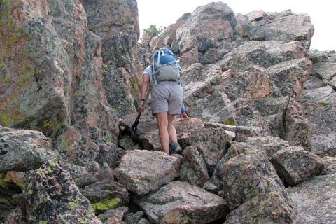
Estes Cone is a small peak on the eastern edge of Rocky Mountain National Park. It is across the road from Twin Sisters (our first mountain Adventure Guide). The trails to Estes Cone climb 2000 feet in 3.75 miles. The last three-quarters of a mile is a steep, unmaintained trail. It makes for a good adventure and a great conditioning hike.
The summit offers three hundred and sixty degree views of the Park and Estes Valley. The view is worth the climb and you will feel as if you earned those panoramas.
Check out the cloudhiking pages. The pictures will make you want to visit as soon as possible. It really is a good hike/climb.
Happy Estes Cone trails
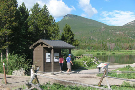
Estes Cone from the Traihead