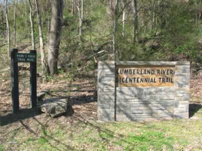
| 211 | Cumberland River Bicentennial Trail | 2010-04-05 |
From Sycamore Harbor Trailhead it is 2.75 miles to the Corps of Engineers Lock A Campground. The path, known as the Eagle Pass Segment, was not paved; but was easily passable on a hybrid bicycle.
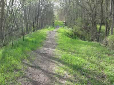
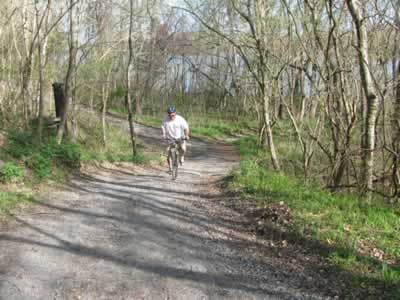
Eagle Pass Section
Overall, it was a great ride. Being a rails to trails path, the grade was easy. Not having to focus on riding, left time for us to look at the spring flowers exploding into colorful blooms. As first time visitors we were overwhelmed by the beauty of the area.
When we weren’t looking at the flowers, we were watching birds and viewing the Cumberland River (or its tributaries.)
Once at the campground we rode down the road to Cheatham Dam, a little less than two miles further. Our overall round trip back to Mark’s Creek Trailhead was 18 miles. We highly recommend the ride.
A few trail notes ...
Be sure to bring a camera and binoculars.
The first mile of the path has plant identification signs along the side of the trail.
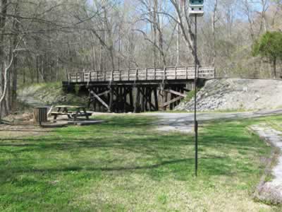
Turkey Junction
The path would have also been fun to walk. You would have had more opportunities to stop and look at the scenery.
The path was crowded, but it was a perfect day.
There were half mile markers on the paved path section.
The users were almost equally divided between riders and walkers.
There were quite a few dogs on the path.
We didn’t see anyone running on the trail, but it would make a great, easy course.
Everyone was very friendly.
One man we met at the Mark’s Creek Trailhead who suggested for us to ride the path to Sycamore Harbor Trailhead and then return to Mark’s Creek on the Chapmansboro Road.
At 1.15 miles (from Mark’s Creek TH) is the Turkey Junction Comfort Station and native garden. Laura saw a turkey in this area on the return ride.
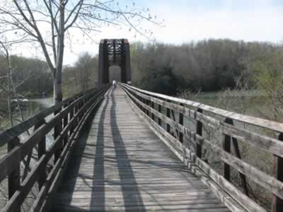
Sycamore Creek
There are some great bridges, the longest of which spans Sycamore Creek.
At the 1.5 miles mark (Donation by Donnie and Jackie Kemp sign) is the best viewing of the eagle nest. You will need a big telephoto lens or binoculars for good views.
Just beyond the eagle viewing area the path dips down to a drainage and then climbs steeply to regain the rail bed.
The ride on the road to the dam was worthy of the effort.
Most of the trail would be shaded in the summer.
The facilities were well maintained.
There was no litter, other than the masses along the bank of the river. I just don't get it. There had to be thousands of plastic bottles. Litter by fishermen and boaters is a problem!
The bicyclist on the trail were not wearing helmets. None of them! A three year old kid was riding a bike with training wheels; but was not wearing a helmet. An adult trying to ride while balancing a bike on her handlebars was not wearing a helmet. Another adult trying to ride while holding a child on his knee, was not wearing a helmet and neither was the child. We saw riders from ages three to sixty and none of them were wearing helmets. The one child I did see wearing a helmet actually had an adult helmet sitting on his tiny head and the chin strap was not fastened! It was very odd.
I think this was our first rails-to-trails path we have ridden. It was very enjoyable.
The only steep section of the trail
Happy rails to trails.