| 173 | The GPS Made Me Do It, Honest! | 2010-01-06 |

In National Lampoons "Animal House" there was a humorous scene where an expelled Delta House member hijacked the marching band in the Homecoming Parade. After shoving the drum major aside the pseudo leader turned off Main Street and down a dead end alley. The band just blindly followed the leader.
That was the ‘70s, now in the ‘00s it is not the drum major leading the way to a dead end, instead it is the GPS leading to an impassable route.
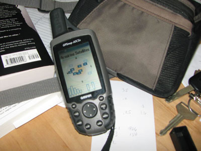
Since Christmas of ‘09 there has been a couple of crazy GPS driving incidents, where the drivers were blindly trusting the GPS instructions. The first was a Nevada couple and the second was an Oregon family. The incidents were similar accounts. They planned their trips with the GPS and followed the device blindly until they were stuck.
Taking away the obvious jokes and comments on why the two incidents occurred, we are left with a simple fact. Neither group used common sense. They were simply the band in the Homecoming Parade following the drum leader wherever he went.
A few hints on using GPS mapping...
Don’t throw away the map. Check the GPS route on the map. If you just want to travel on interstate highways, you have an interstate map to compare with the GPS. The GPS might not be as smart as you think!
When things don’t look right, it is time to stop and figure things out. Take a few seconds to check the map, the GPS, ask questions, think. Most cars have a reverse, even those equipped with a GPS.
If it sounds too good to be true, then it probably is. There are not many miraculous shortcuts which can only be found only on a GPS map. Don’t trust, without first doubting and researching.
The GPS mapping feature is only as good as the map program. The map program is only as good as the data entered. If the data doesn’t differentiate between a four-wheel drive Forest Service road and a paved county road, then the GPS will consider both roads the same. Keep updated software on your GPS. Report errors to the software company so they can make the necessary corrections of the data and maps.
In the summer of ’09 while spending the night in Montrose, CO we consulted the GPS mapping software for a route to Leadville. The program gave us several alternatives. The shortest route would take us from Gunnision to Aspen and then on to Leadville. We were not familiar with the area or the road, so we began doing some research. After asking a few questions at a local store we found that the road was not passable in a normal vehicle and the locals even though it was closed. We didn’t go that way and hence saved ourselves many hours and headaches.
The GPS and mapping software are great navigational tools, but they don’t take the place of common sense. Use both.
Happy GPS trails.