| 985 | Welcome to the Winds Days 1 and 2 |
2015-08-11 |
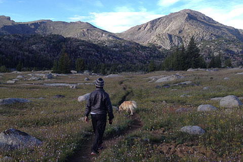
Going for a hike in the evening of Day 2 (no packs!)
Our summer plans (2015) were to visit the Maroon Bells (near Aspen) to hike the Four Pass Loop and then to head to the Wind River Range of Wyoming. A friend was supposed to meet us for the Winds, but was unable to come. We were looking forward to having our friend along, but it was also nice to have more flexibility in our schedule.
In Aspen, we tried to enter the Maroon Bells at Maroon Lake, but parking and camping were issues. The problems were not insurmountable, but they were difficult. Looking at our options, we decided to head to Wyoming and catch the Four Pass Loop later in the trip.
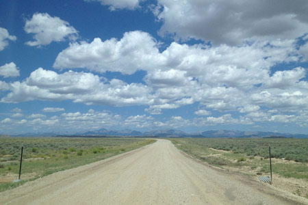
Approaching the Winds
After a stop over in Craig, CO, we drove through southwest Wyoming to Rock Springs. Continuing north to Farson, WY we left the pavement and started a fifty mile (no exaggeration) approach drive on dirt roads to Big Sandy Trailhead. Oddly enough, Big Sandy Trailhead was on Goggle Maps.
The drive was bigger than life. Wide eyed, we scanned the horizon, as we sped along the above average dirt road. The last 15 or so miles of road to the trailhead were a little less improved. We slowed and dodged ruts and craters on the wash-boarded road.
After a couple of hours of driving, we finally arrived at the roads end - Big Sandy Trailhead. The parking area was jammed with over fifty cars, trucks, and vans. We found a parking spot and moved to some nearby trees for shade. Once again we discussed our plans. We were not packed for the trip, but decided that we had enough time to pack and then begin our trip that afternoon. We would only try to hike a couple of miles before making camp so we were not in a hurry.
The packing was uneventful, but naturally, took longer than expected. In the late afternoon, we left the trailhead. Our overall plan was to hike a loop, following trails on the western side of the Wind River Range north for about fifteen miles, then cross into the heart of the range and finally close the loop and return to the trailhead. Expected highlights included crossing the Continental Divide, a lengthy hike above treeline above Lizard Head, and Lonesome Lake.
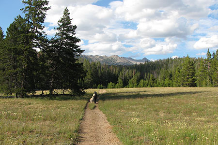
Crossing a meadow a short distance north of Big Sandy Trailhead
It was good to be moving, even if the packs were a bit too heavy. We traveled to Meeks Lake and found a camping spot to the north of the lake in a meadow. We would not recommend the site, but it was all we wanted to do for the day.
The mosquitoes swarmed to greet us. We added repellents and wore nets over our heads. The protection was adequate. After a quick dinner, we went to bed and tried to catch up on sleep.
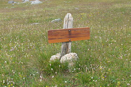
Continental Divide Trail directional sign
Day 2 was a wonderful trek as we still headed north past many lakes on the west side of the Winds. The trail was part of the Continental Divide Trail System and was relatively flat. Of course there were a few climbs, but there was nothing difficult. The scenery was fantastic, but we were itching to leave the flanks of the range and climb into the mountains.
A highlight on our second day was Dads Lake. The lake was nestled among exposed slabs and boulders. It would have been a great spot to camp, but we continued north. In general, the trails on the western side of the range were moderate with great scenery.
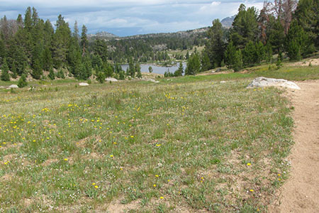
Nearing Dads Lake
In the early afternoon, we had reached the general area where we planned to spend the night. Hunting for a site, we tried to avoid the swarms of mosquitoes by choosing a site on the top of a small knoll. The spot was exposed to the wind, but unfortunately the mosquitoes did not seem to mind the breeze.
After setting camp and getting water, we spent the afternoon, resting, playing with our pup, Augie, and exploring. The next day we would head north again and then turn east and climb to Washakie Pass. Day 2 really got us ready for the days to come.
Happy Wind River trails