| 960 | Tonahutu Creek Trail Guide Rocky Mountain National Park |
2014-10-27 |

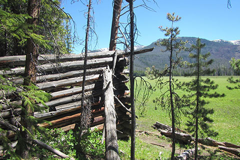
Big Meadow cabin ruins
In late July of 2014, we hiked the Rocky Mountain National Park's Loop. The twenty-seven mile Loop is formed by the North Inlet Trail and the Tonahutu Creek Trail. Grand Lake, CO hosts the two trailheads and they are located a short distance apart (linked by a gravel road.) The Loop is a destination hike and one of the best in America.
On cloudhiking.com, we finished the Loop Trail Map and decided to immediately work on the trail guides to the area of the map. In total there will be four. The first guide is for the North Inlet Trail to the North Inlet Junction and continuing to Lake Nanita. The most recent guide is to the Tonahutu Creek Trail and Haynach Lake Trail.

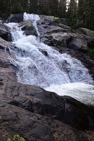
Granite Falls
A few Tonahutu Creek Trail Guide notes ...
Like the North Inlet Trailhead, Tonahutu Trailhead is not within the fee based Park areas.
The best parking is at the North Inlet Trailhead.
The Tonahutu Creek Trail follows the Tonahutu Creek drainage.
The guide covers the Tonahutu Creek Trail to the Haynach Lake Trail Junction and then the Haynach Lake Trail to its end. The Tonahutu Creek Trail continues to Renegade and Timberline campsites and then on to the Continental Divide and Flattop Mountain. Near Flattop Mountain the Tonahutu Trail intersects the North Inlet Trail.
We walked the trail by doing the North Inlet Trail first and then finishing the Loop with the Tonahutu Creek Trail.
The Tonahutu Creek Trail climbs less than 1,800 feet in 9.35 miles to the Haynach Lake Trail Junction.
Many hikers use the Green Mountain Trail to access the Tonahutu Creek Trail at Big Meadow. The alternate trail shortens the hike by 2.45 miles.
Big Meadow and Granite Falls are popular day hike destinations from the Green Mountain Trailhead.
We had hiked the Big Meadow section of the Tonahutu Trail before but the moose sightings were a highlight of our trip.
The Tonahutu Trail is a great backpacking/camping destination.
We saw a few trail runners. The easily graded trail would make a great running course.
Be sure and check with the Rocky Mountain National Park Backcountry Office for trail conditions. Trail conditions are also listed on the Park web site.
The Loop in it's entirety is only in condition (snow free) during the summer months - July and August. Snow will probably linger through June and may even be present into July. The trail is difficult to follow with snow and certain slopes are avalanche prone. Snow could return toward the end of August and anytime in September.
The Haynach Campsites are shown on other maps on the other side of Haynach Creek. The side trail to the sites crosses a drainage that might have an intermittent creek, but the main body of Haynach Creek is on the other side (to the west) of the rib where the campsites are located.
The Haynach Campsites make a good basecamp to explore the area's mountains and lakes.
While getting our permit, the staff personnel warned us of the steep climb to the sites and implied that the sites are hardly used. If that is the case, it is hard to believe. These were great sites.
The hike to the lake is worth the effort. The main obstacles on the unmaintained trail were the downed trees.

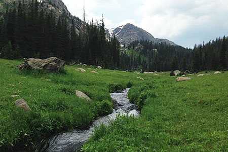
Haynach Meadow
When we hiked the Loop we soon realized why there was so much hubbub about the trail. It really is a classic hike. Put the Tonahutu Creek Trail (especially the Upper section), the North Inlet Trail, and the combo - both trails together on your hike list.
Happy Tonahutu Creek trails
Tonahutu Creek Trail and Haynach Lake Trail
North Inlet Trail and Lake Nanita Trail
The Loop Map - Rocky Mountain National Park